Nothing in El Salvador Makes Sense Until You Understand the Land
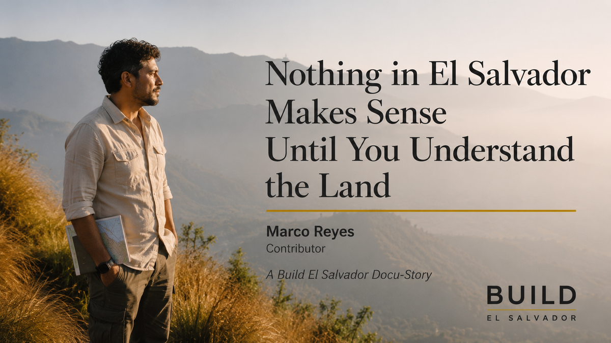
By Marco Reyes — Contributor
It started as an ordinary morning at a café in San Salvador. Coffee. Laptop open. Interview notes from the day before spread across the table in no particular order.
Then the building moved.
Not a tremor. An earthquake. The hanging lights swung hard enough to hit the ceiling. Water rippled off the edges of every glass in the room. The floor shifted underfoot in a way that made the whole structure feel temporary.
I was already calculating exits.
Nobody else was.
The barista kept making coffee, one hand steadying the machine without looking up. A businessman two tables over kept scrolling his phone, glancing up only once, the way you'd glance at a passing car. A child near the window didn't look up at all.
Within a minute, the earthquake had become the topic of conversation, not because people were frightened, but because they were interested. The way people discuss weather. Or a snowstorm back home. Someone guessed the magnitude. Someone else guessed where it had struck. A third person, almost bored, said, "I felt the one last month more."
At the table beside mine, a man in work boots and a faded collared shirt had been listening. He had the look of someone who spent his days on construction sites rather than behind a desk. I asked him, half rhetorically, "Doesn't that worry you?"
He laughed, not at me, genuinely, like the question had never occurred to him in those terms.
"Earthquakes don't worry me," he said. "Bad construction worries me."
I wrote the sentence down and assumed that was my article. A piece about Salvadoran composure. Why nobody panics. Five hundred words, tidy ending, done by dinner.
I was wrong about what the story was.
Later that afternoon, back at the hotel, I pulled up a map.
What struck me wasn't the earthquake. It was the number of volcanoes.
El Salvador is barely larger than New Jersey. Yet this small country contains sixteen Holocene volcanoes; one of the highest concentrations anywhere on Earth relative to land area. I kept zooming in and out, convinced I was missing something, that the map was somehow misleading me. It wasn't. Volcanoes near the cities. Volcanoes near the farms. Volcanoes near the lakes. Volcanoes near the coast. There was nowhere on the map I could point to and say, safely, that part is far from one. Holafly
At some point, a different question replaced the one I'd started the day with.
It wasn't why do Salvadorans seem so comfortable with earthquakes.
It was: why did anyone decide to build a country here in the first place?
That's a bigger mystery than composure. And it sent me back out to ask better questions.
To understand why this particular stretch of land ended up this volcanic, you have to go beneath the surface. Literally.
El Salvador sits at the convergence of the Cocos Plate and the Caribbean Plate. Two enormous sections of the earth's crust that have been colliding in slow motion for millions of years. The Cocos Plate, carrying the floor of the Pacific Ocean, pushes relentlessly northeast. When ocean floor meets continental rock, the ocean floor loses the argument. It's forced downward into the earth's mantle, where heat and pressure melt it back into liquid rock. That liquid rock rises wherever it finds weakness in the surface above, producing volcanoes, geothermal activity, and the earthquakes that come along with this entire restless process.
Two volcanic mountain ranges run roughly northwest to southeast across the country, with a high central plateau between them and a narrow coastal plain hugging the Pacific. The southern range isn't really a mountain range in the conventional sense. It's a discontinuous chain of more than twenty volcanoes arranged in five clusters, each one a visible reminder of what's happening underneath.
These aren't distant geological curiosities. They're neighbors. On a clear morning in San Salvador, the San Salvador Volcano—Quezaltepeque, to locals—rises just eleven kilometers from the city center, its crater visible from rooftops across the capital. Drive west and Izalco appears on the horizon, a nearly perfect volcanic cone that erupted with such regularity for over 150 years that Pacific sailors used its glow at night to navigate by. Drive east and the brilliant blue caldera lake of Ilopango fills the view; water sitting in the collapsed throat of a volcano that most visitors admire without realizing what they're looking at.
That answered the geology question. It didn't answer mine. Why would anyone choose to live, deliberately, on top of all that?
I expected the answer to involve some version of they had no choice, poverty, displacement, nowhere else to go. Almost every conversation pointed somewhere else entirely.
In the highlands above Juayúa, a coffee farmer gestured toward the volcano rising behind his rows of trees. I asked whether living in its shadow concerned him. He looked at me with genuine confusion, the way you might look at someone who asked if sunlight concerned you.
"That's why we're here," he said.
It took me longer than it should have to understand what he meant. The volcanoes aren't simply tolerated by the people who live near them. They're the reason those people are there at all. Thousands of years of eruptions have deposited mineral-rich ash into the soil. The kind of volcanic fertility that agriculture elsewhere spends fortunes trying to replicate artificially. It's why Salvadoran coffee commands premium prices in international markets, not from branding but from the ground itself. It's why fruit trees here produce so abundantly, why medicinal plants grow with a concentration that surprises researchers, why entire farming communities built their lives on hillsides that a geologist would flag as high-risk and a farmer would simply call home.
The danger and the abundance come from exactly the same source. Mystery number two, solved. And it solved mystery number three along with it. People didn't stay despite the volcanoes. They stayed because of them.
Most visitors think they already understand El Salvador. Surf. Sunsets. Black sand beaches. A Pacific coastline that photographs impossibly well.
What they don't realize is that none of it makes sense without the same volcanic story.
The black sand exists because of basalt. It's the same volcanic rock that forms the structural geology of the entire country. The surf breaks that have made towns like El Tunco internationally known exist because of underwater volcanic geology shaping the seafloor just offshore. Near La Libertad, the volcanoes fall directly to the sea, leaving virtually no beach at all. It's mountain meeting water in a hard line. West of there, the Balsam Coast unrolls for 75 kilometers of black sand and consistent swell. The same coastline that drew the first wave of international surfers and, later, the first wave of foreign investment. Elsalvadorinenglish
Geography still decides where development goes. Where the roads get built. Where the hotels rise. Where investors put their money and where they walk away. The land made these decisions long before anyone with a checkbook arrived, and in large part, it's still making them.
Back at the café, I returned the next morning, half hoping for another earthquake, which is the kind of thing you start hoping for after a week of this. I spotted an older woman at the next table who had overheard enough of my questions to the barista and joined in.
She remembered 1986.
She remembered exactly where she'd been standing when the ground gave way beneath San Salvador, killing as many as 1,500 people and leaving 200,000 homeless in the span of a single shaking minute. She remembered the children's hospital. She remembered the weeks afterward. YouTube
But what she wanted to talk about wasn't the destruction. It was the rebuilding. Who came back first. Which street reopened when. How the market returned, slowly, stall by stall, faster than anyone expected.
Listening to her, I realized everyone I'd spoken with that week had been looking at the exact same land and seeing something completely different. The builder saw engineering tolerances. The grandmother saw memory. The coffee farmer saw fertility. The surfer down the coast saw waves. An investor would see opportunity. A geologist would see tectonic plates grinding past each other in the dark.
They were all correct. They were all describing the same sixteen volcanoes.
So, the real story was never that El Salvador has an unusual number of volcanoes for its size.
The real story is that almost everything people love about El Salvador exists because of them. The coffee. The black sand. The surf. The views that stop conversations mid-sentence. The fertile hillsides where families have farmed for generations. Even the earthquake-resistant construction methods now shaping the next wave of development trace back to the same cause. Pull on any thread. The food, the coastline, the architecture, the agriculture, and it leads back underground, to the same restless collision of two tectonic plates that has been quietly authoring this country for millions of years.
The earthquake that started this story will not be the last one. Nobody can say when the next will come, only that it will. A light fixture will swing somewhere. A glass of water will ripple. A conversation in a café will pause for four seconds and then continue exactly where it left off.
Not because Salvadorans have learned to ignore the land beneath them. Because they understand, on some level inherited rather than taught, that the land is not separate from the country. It is the reason the country exists at all.
Most visitors arrive remembering the surf, the sunsets, the long stretch of Pacific coastline catching the evening light.
But the deeper story begins beneath all of it. Long before the roads, the cities, the hotels, the coffee farms, and the surf towns, the land was already writing the first chapter.
In many ways, it still is.