There's Already a Water Connection at the Road. That Should Have Been the End of the Question.
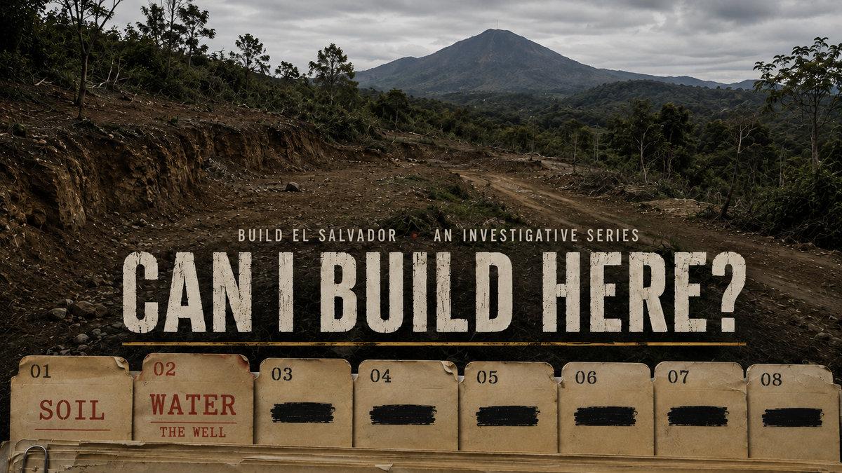
Follow along as we investigate a couple considering buying land and building a home in El Salvador. Before they buy, we're putting the property through a series of real-world tests, from what's beneath the ground to whether the land can actually support the home they imagine. Will they ultimately buy it? The file's still open.
The property already has water. There's a connection at the road, right along the front of the land, and for most buyers looking at a piece of land in the mountains of El Salvador, that would probably be the end of the water question. For this buyer, it was the beginning.
The plan is to build a house here, but that means thinking about everything that comes with it. A pool, gardens, fruit trees, landscaping, the dry season, and the simple comfort of knowing that if something happens to the community water supply, the property isn't entirely dependent on it. So somewhere along the way, the question of drilling a well came up.
It sounded straightforward enough: find water, drill down to it, put in a pump. There was just one rather obvious problem. The buyer doesn't own the land, not yet, and spending thousands of dollars drilling a hole in someone else's property seemed like a fairly aggressive form of due diligence.
Buying the land first and figuring it out afterwards didn't seem particularly clever either.
There had to be something in between: some way of finding out what was underneath the property before buying it.
So the investigation started with a ridiculously simple question. Is there such a thing as an aquifer database?
Turns out, there is. El Salvador's Ministry of Environment and Natural Resources—MARN—maintains national hydrogeological mapping through its geographic information system, with layers for springs, geology, hydrogeological units, aquifer recharge, groundwater levels, groundwater-flow direction and even faults.
For about five minutes, that looked like the whole answer. The property's official land registry record gave its precise location. MARN had the groundwater maps. Put one over the other, find the aquifer, and there's the answer.
Except that wasn't the answer at all.
This is volcanic mountain terrain, and underneath these mountains, water doesn't necessarily behave the way most people imagine groundwater behaves.
It can move through fractures in volcanic volcanic rock, cracks, faults, and pathways through a mountain that can carry water in one place while rock surprisingly close beside it may carry very little. Which meant the wrong question had been asked.
It wasn't simply: Is there groundwater in these mountains?
The question was considerably more specific:
Does one of the right cracks in the mountain run underneath this particular piece of land? That was going to be a little harder to answer.
Knowing what to look for didn't solve the original problem.
The land still wasn't purchased. And eventually, determining whether a property can produce a well requires someone to show up with equipment.
A hydrogeologist can study the terrain, a geophysical survey can look for promising structures underground, and ultimately a drilling rig has to make the final call. But ordering surveys and drilling holes on a property that still belonged to someone else wasn't an option.
The alternative was just as unappealing. Buy it first, then investigate? That seemed backward.
A well wasn't essential to making the property livable; there was already water at the road. But if a buyer is going to purchase land and eventually build a home on it, knowing what's actually being bought matters, not just what's visible from the surface.
Maybe it couldn't be proven that water existed beneath the property before purchase. But how close could the evidence get? Could nearby wells be found? Springs? The direction groundwater moved through the mountain? The fractures that carried it?
Suddenly, this wasn't a search for water anymore. It was a search for evidence that could be done from a computer.
The groundwater maps went much farther than expected. Researchers studying the region had mapped geological lineaments, features in the landscape that can indicate fractures or faults below, then compared those lineaments with known springs and other groundwater sources.¹
Suddenly, the aquifer wasn't the most interesting thing on the map.
The fractures were.
But knowing the property's precise location created another problem. A coordinate is a point. A property isn't. A fracture could cross the middle of the land, the back, or one corner without passing beneath the reference coordinate at all.
So the search stopped being about a point.
It became a search beneath the entire parcel.
Then came the reassuring part.
There was evidence of water all around the property. Regional studies documented springs. Wells had successfully produced water. Groundwater had been studied throughout the surrounding volcanic mountains. And the property itself already had a water connection at the road.
So one question was settled: was there groundwater in these mountains? Yes.
Unfortunately, that wasn't the question anymore.
A spring several kilometres away wouldn't fill this well, and neither would somebody else's successful borehole. They proved water existed in the mountain. They didn't prove it could be reached from this piece of land.
Then the research produced a number that changed the scale of the problem: 239. That's how many geological lineaments the researchers had identified across the region.
But finding a fracture wasn't the same as finding water. Only 12.2 percent were classified as having high groundwater potential, another 14.2 percent were considered moderate, and nearly three quarters were classified as low potential.
In other words, finding a crack wasn't enough. The right crack was needed.
And suddenly, a one-acre of sloping volcanic terrain, surrounded by kilometres of mountain, looked very small. Somewhere across that larger landscape were fractures with the potential to carry water., and one of them needed to intersect this tiny piece of land. A productive fracture could pass directly through the property. It could pass twenty metres beyond it, or a hundred. From the surface, all three scenarios might look exactly the same.
Now came the hard part.
Take the enormous regional map.
Zoom all the way down to one small piece of mountainside.
Then lay 239 cracks over the property.
Somewhere among those lines might be the one that mattered.
If one of the promising ones crossed the land, there would be something much more useful than knowing there was water somewhere inside the mountain. There would be a place to start looking.
And that's where the maps stopped helping.
They could show groundwater across a mountain system. They could identify geological structures associated with springs and wells. What they couldn't reliably do was tell whether one productive fracture crossed the one-acre property. The scale was simply too coarse. And even if a promising fracture did cross the land, that still wouldn't prove it contained enough water to make drilling worthwhile. A line on a map isn't a well.
The maps had reached their limit.
Which was frustrating.
But it also answered the question this investigation started with:
Can water be found before the land is purchased?
Not exactly.
But the maps can eliminate a surprising amount of uncertainty.
They could tell this buyer where groundwater existed around the property, how it moved through the volcanic geology, and where promising fractures might be.
What they couldn't do was point to a spot and say:
Drill here.
For that, eventually, someone was going to have to stand on the land.
Reaching the limit of the maps didn't mean reaching the limit of the investigation.
With the owner's permission, a hydrogeologist could evaluate the property and, if warranted, use geophysical testing to look for promising fractured rock beneath it.
It still wouldn't guarantee water.
But it could provide something much more useful than a regional map:
A place to look.
And that changed the question.
Not: Is there water around here?
That much was already known.
If this were your land, where would you look?
THE WATER — BUILDABILITY: PASS
Does the property already have water? Yes.
Is there groundwater in the surrounding geology? Yes.
Has a productive fracture been identified beneath the property? Not yet.
Can this be investigated further before buying? Yes.
A pass doesn't mean this buyer has proven there's a viable well beneath the property. It hasn't.
It means enough is known to make the remaining uncertainty acceptable. The property already has water, groundwater exists throughout the surrounding geology, and there are practical steps that can be taken to narrow down where to look before anyone pays for drilling.
Finding the best place to drill isn't only about finding water. Its location also has to work with everything else planned for the property, particularly the septic system. On sloped land, finding a promising groundwater zone in one part of the parcel doesn't automatically create a conflict with septic somewhere else.
This investigation started by looking for an aquifer.
It ended by looking for something considerably smaller: a crack in a mountain.
The maps couldn't prove that one of those cracks runs beneath this property. But they answered the question that mattered.
Can you find water before you own the land?
Not with certainty.
But for this buyer, there is enough evidence to keep going.
The water hasn't given them a reason to walk away.
And that should have been the end of the water question.
Except drilling a well isn't the only way to put water on this property.
Every year, enormous amounts of water fall out of the sky. For months.
Then the dry season comes, and almost none does.
What if some of that water could be collected before it ever gets underground?
How much rain actually falls here? How much could a house collect? How big would the storage have to be? And could it make a meaningful difference during the dry season?
The well investigation started by looking down.
The next one starts by looking up.
INVESTIGATION 02 ·THEWATER — COMPLETE
6 QUESTIONS REMAIN
This is Investigation 02 of CAN I BUILD HERE?, a Build El Salvador series following the real-world due diligence behind a potential land purchase in El Salvador. Interested in sponsoring this investigation or a future installment? Become a Build El Salvador sponsor
¹Chávez, J.A., Mata, R.A. & Ventura, E.M. (2004), Comportamiento de flujos subterráneos dentro del Complejo Volcánico Bálsamo, Región Hidrográfica E. Universidad Centroamericana José Simeón Cañas (UCA), Facultad de Ingeniería y Arquitectura.